Contacts

Safe

Mooring

supported by technology
Сontact us
system
MOORiNET predicts the development of an emergency and improves the safety of vessel mooring using Lidar technology, laser rangefinders and machine vision. Allows the user to detect the longitudinal displacement and drift of the vessel and keeps the log with all details. MOORiNET can be used as a navigation platform for marine pilots and the Harbour Master's team responsible for mooring operations.The system could be integrated with VTMS and Portable Pilot Unit applications.
Cameras
LiDAR
Weather station
IoT Sensors for monitoring engineering structures
Laser
Mobile application
Outdoor screen
Application for dispatcher
AR Glasses
Data analytics module
Measuring sub-system
Allows users to make independent measurements of the distance, as well as calculate the approach speed and the angle of the vessel relative to the quay wall.
Weather station
Checks wind speed and direction, wave height, air pressure and temperature, air humidity, amount and intensity of precipitation, visibility range.
IoT Sensors for monitoring engineering structures
Provide real-time monitoring of the possible pressure of the vessel to the quay-wall\fenders, conditions of engineering structures of the berth, identify any dangerous cases and send an alarm to the user.
Mobile app
The main source of information for the pilot on the vessel bridge, displays the position of the vessel, distance to quay-wall and approaching angle. Available for Android or IOS devices
Augmented reality sub-system
Helps Marine Pilot to control mooring without distraction on any devices. The pilot can see the real world and all details about mooring on the screen in AR glasses.
Outdoor screen
Displays real-time data about mooring ongoing operation: distance between quay-wall and vessel (stern and bow), approaching speed and angle, provide emergency light indication and sound alarm when the speed of approach is exceeded.
Application for Dispatcher
Comprehensive control and log of the mooring process, anchorage and departure of the vessel for the navigation control room. Control on the mooring operations for all berths in Seaport. Reports and analytics.
Optical sub-system
Automatic tracking and checking the distance and position of the bow and stern of the vessel. This module calculates the vessel location prediction using a precise dynamic 2D / 3D simulation model. During anchorage - monitors the longitudinal and lateral movements of the vessel.
Non-contact wave sensor
Determines the average and max wave height, average wave period, water level and tide
Integration with VTMS and other systems in the control room
MOORiNET could be integrated with existing systems at the navigation Control Room and provide additional details to the Harbour Master team about all mooring operations at the Seaport.
4x levels of control
LiDAR, Laser, AIS and Machine Vision technologies work together to ensure the highest level of control over the ship's mooring operations
The laser rangefinder is a highly accurate device, but there is a limitation – the laser beam can control only one point on the vessel surface. With two or three lasers the system can control the bow and stern of the vessel as well as approaching angle. For accurate identification of these points, we use Machine Vision.
Machine Vision
Increases efficiency of video surveillance, automatically follows the vessel, monitors controlled areas and detects objects between vessel and quay-wall, tug-boats and other vessels around.
Monitoring of the general navigation situation near the berth
Analyzes live video streams, detects objects around the vessel, displays the current position of the vessel, sends a notification to the pilot team about the inbound vessel.
Video Surveillance for the overboard area
Recording of all events happening at CCTV camera covered area and detecting emergencies.
Quay-wall monitoring
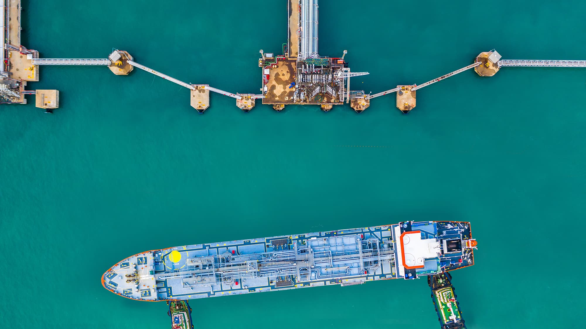
When a vessel approaches a distance of 1-2 meters to the berth, the camera goes down and monitors the area between vessel and quay-wall, keeps video footage of the contact of the vessel with the quay-wall\fenders.
Prediction of the vessel position and trajectory
The vessel operates in two environments: air and water. Due to the huge vessel size and weight and influences of air and water and the velocity of the vessel, it is difficult for humans to predict the precise location of the vessel without mistakes. MOORiNET allows drawing the trajectory of the vessel movement which helps the pilot be aware of vessel position in advance.
AI to predict the Optimal Mooring Scenario
AI helps to analyze thousands of mooring scenarios in a few seconds and select the most effective one. It helps to prevent incidents during mooring operations.
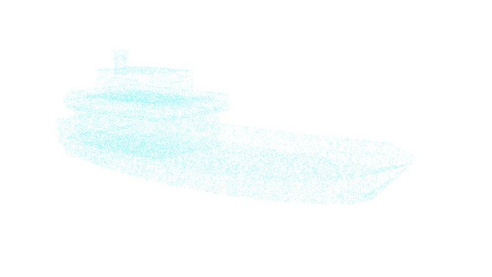
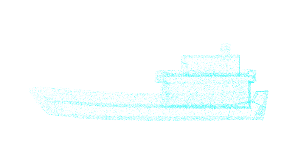
2D/3D vessel surface scan with 200 thousand points
Thanks to LiDAR technology, the scanned image is divided into 200 thousand points, and MOORiNET can draw a full projection of the ship.
The coordinates of each tracked point on the vessel surface are fixed. When coordinates are changing, we can understand where the ship is in and monitor the approaching speed for the bow and stern.
With a given accuracy, we also detect the longitudinal displacement of the vessel during anchorage. A flexible set of parameters allow to update how MOORiENT will react to different events.
1
years of experience
1
seas
1
berths
1
professionals
The future is here
The MOORiNET system is ready for unmanned navigation, exchanging data with the digital systems of the vessel, assisting or refining them. MOORiNET significantly reduces the influence of the human factor and improves the safety of the mooring in the most difficult situations and weather conditions.
Any questions?
We are happy to assist you and waiting for your call
Request a callback
RUSSIA - MOSCOW
UAE - DUBAI
Email
Social network